TANGKILING - Robust forest monitoring is essential for long-term conservation management. We have been employing numerous techniques and equipment to monitor our forests, including ground-based surveys and patrols.
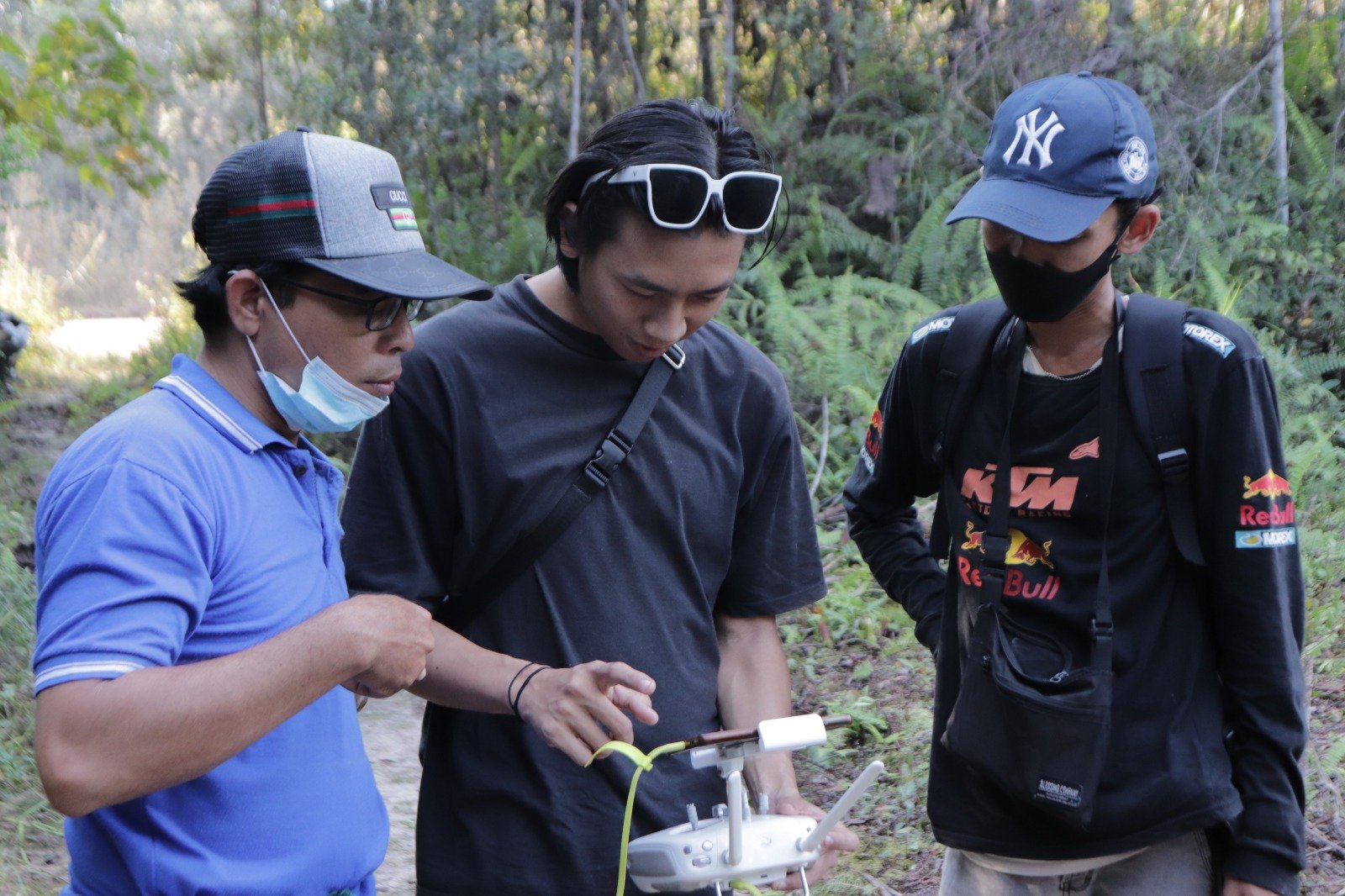
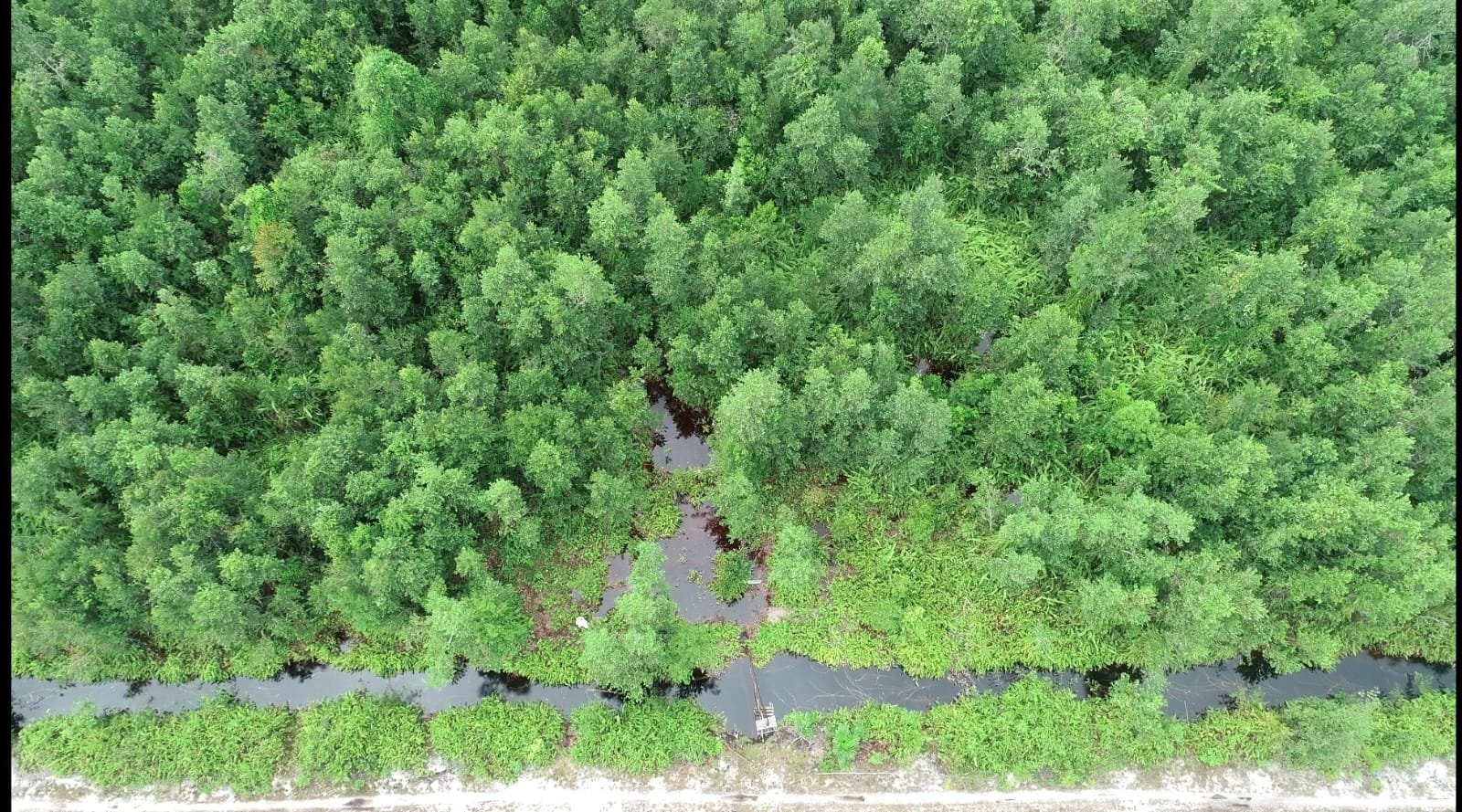
This time, we use drones to draw a map of our peat forest in Tangkiling, which is also in the process of establishment to be a Youth Ecology Center. We try to capture data and keep close tabs on changing forest topographies for more effective surveying. Drones boost aerial surveillance, allowing our team to record more footage from multiple angles and views. Drones are also much easier and more cost-effective to deploy, especially in monitoring peat swamp forests that frequently flood and have challenging tracks.


Forest mapping using drones helps us to plan and analyze the tree planting side as we need to carefully choose the best location for planting trees to ensure the new saplings benefit the forest and ultimately achieve maximum growth.
We hope that by using cutting-edge technologies, more of Kalimantan's forests may be safeguarded from exploitation and other dangers.